What I Do
What I Have Done
This section is a summary of projects in recent years that help describe the technology that I have an interest and skills in.
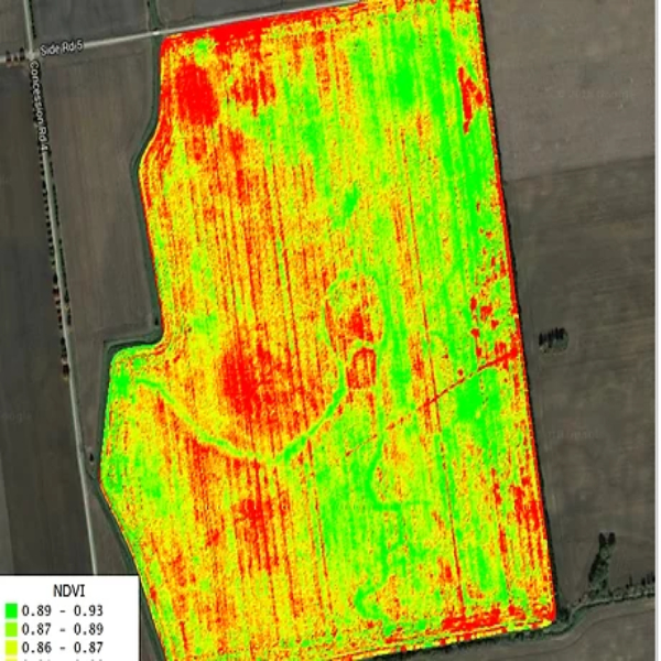
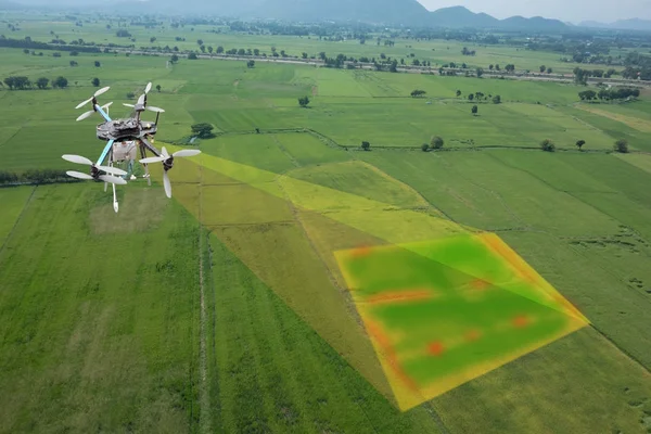
Well – drones were all the rage about five years ago. I had studied geospatial information systems (GIS) at uni and started using drones for some of my geological interests. I qualified as a drone operator and then certified my business so that I could fly drones commercially. I’ll be honest – its not a great earner – but it remains a hot-bed of conversation in agricultural circles. On the one hand, people can’t get enough of it. On the other hand, they aren’t willing to pay you for it – probably because they can see that you are having too much fun doing it.
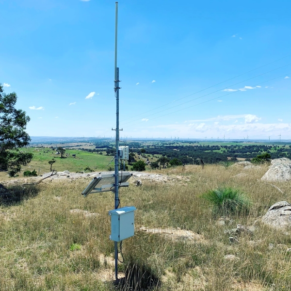
Our carriers often spruik that they have telecommunications coverage out to 99 percent plus of Australians. Unfortunately, as anyone who lives or works in remote areas will tell you, rural telecommunication is patchy. You can be pretty certain that carrier services will not be available in the locations you are working.
LoRa ( is short for low power, long range) is a radio network technology that allows thousands of sensors and devices communicate with the Internet. The Things Network (TTN) is an open source movement that promotes the adoption of LoRa world-wide.
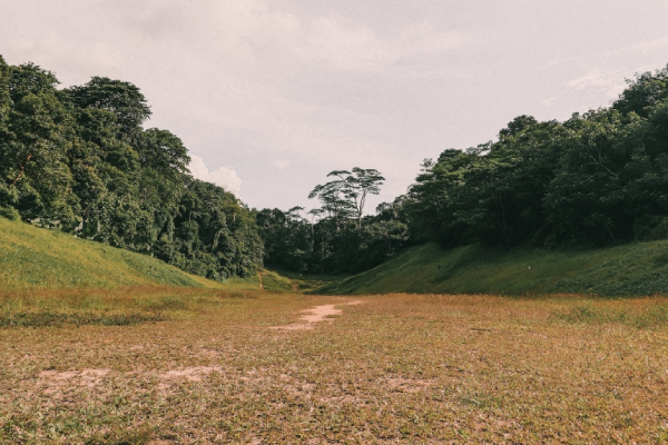
Problem: a farmer wanted to understand the soils in his property and its ability to retain soil moisture over time. He could then use this information to understand his options with respect to irrigation and run-off.
Solution: I first started using LoRa in 2017 installing gateways and a range of environment probes to start capturing data….
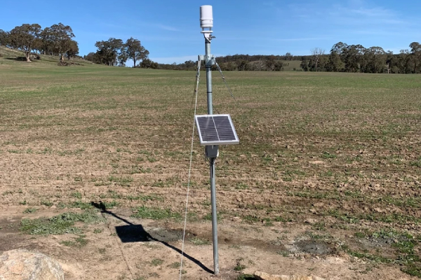
An interest in geology and a background in geospatial information systems became very handy for this project. Following on from the installation of a LoRaWAN gateway from one of my previous assignments came work to help the local agronomist provide advice based on the data that I had collected. This case study isn’t so much about the technology – we covered that on the LoRa case-study. Instead, it is about the importance of a bit of domain knowledge that sets the context of the IoT project.
Problem: What does all the data mean ? Sure – you can collect years worth of data but if you don’t understand what you are measuring, how do you know you are measuring it right ?
Solution: Do some side study and gain valuable domain knowledge. In this case, it’s about soils.
Part 2 is coming – still editing the detail.
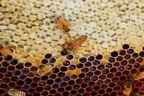
Odd Acres Apiary is an emerging business. I combine my knowledge of IoT and bees to maximise the productivity of my hives as well as improve their welfare by monitoring vital hive statistics and the surrounding microclimate. Some of the sensors are my own design mixed in with commercial products.
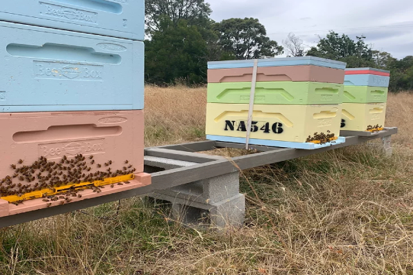
I am working with Tableland Farming Systems to integrate my data to their portal so that farmers can have all the data relevant to their property in one place.

I was inspired by a post from Mat Kelcey using a Raspberry Pi to count bees at a hive entrance. I am doing a similar thing using technologies that interest me (Tensorflow/Keras, Caffe and OpenCV). I’m working on the twin challenges of power to the Raspberry Pi and the communication of the computational results using LoRa. This is a labor of love, but should be done mid 2021.
About Me
Hi, Pete Czeti here. I’m a technology consultant from Australia working in the Agriculture sector focused on energy efficient edge computing and remote rural networking. Also, I’m a beekeeper, amateur astronomer and geology buff.


